Lessons from the Allagash
By: Chase Bartee
Chase and Aimee Bartee, a filmmaking and photography duo who combined their creative forces in 2014 and formed Tight Loops; an all-encompassing creative brand focused on fly fishing, travel, and the outdoors. They quickly ascended the ranks in the fly fishing media world, and have been key features of the scene ever since. Working with notable brands as content creators, collaborators, and ambassadors, they've also released 2 feature films and a long list of other shorts. In 2016 they embarked on their greatest adventure yet when they were married in the mountains of New Hampshire, along the banks of small brook trout stream.
Big Land is the story of 4 friends embarking on the adventure of a lifetime in search of a wildness seldom found in the urban sprawl of the Anthropocene. In an effort to better understand America's first sport fish, and the eastern seaboard's only native trout, filmmakers and anglers Chase and Aimee Bartee lead a canoe expedition into North America's last great and unexplored frontier; Labrador. There's only one problem, they've never even paddled a canoe before.
In an exclusive prelude, Lessons From The Allagash documents Chase and Aimee's descent of Maine's famed Allagash Wilderness Waterway in preparation for Big Land.
I don't recall when I first heard about the Allagash River in Northern Maine, but I distinctly remember when I realized I was going to paddle the length of it. My wife Aimee and I had recently decided, perhaps a little prematurely, that we were going to self-guide a canoe expedition in the Labrador bush in search of unexplored wilderness and pristine brook trout waters. Seemed straightforward enough at the time of conception, but the realities of such an undertaking manifested themselves quickly. Here's the thing, we'd never even paddled a canoe before, let alone spent 2 weeks in the bush with nothing but a SAT phone connecting us to the outside world. We needed to get into shape, and quickly. It was at that moment that I knew the Allagash was the only place to do it.
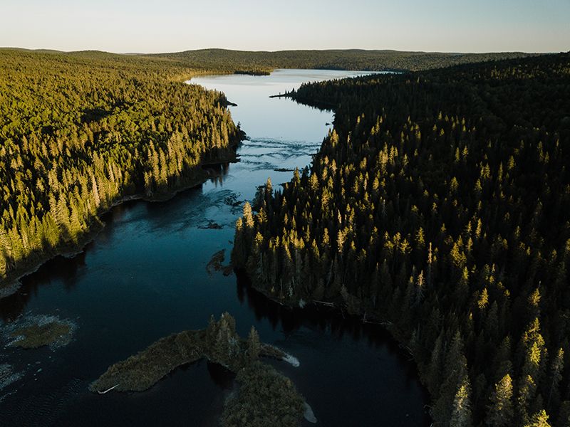
Flowing northward for 90-some-odd miles from Aroostook to Piscataquis County, Maine, the Allagash Wilderness Waterway is a place rich in history and mystique. Everyone I'd ever heard mention it had either done it, or planned to do it, and we found ourselves in the latter category in the spring of 2018. We'd spent the winter reading books, watching videos, and daydreaming about a week long trip down the countries first state administered wild and scenic river. "Full of sun kissed meadows and placid lakes and lackadaisically feeding bull moose..." we figured. The truth was that we were in for a serious adventure, one we weren't in the slightest bit prepared for, but all the while in desperate need of. We wanted to get in shape for the Canadian far north, and the AWW was determined to be an adequate sparring partner.
Our journey began, as most Allagash trips do, with a harrowing 170-mile ride down a semi-maintained logging road in the back of an outfitters pickup truck. For those willing to risk it, and pay the North Woods Co. a fee, you can drive your own vehicle to one of a handful of put in points along the river, but we opted to park at the end and be transported to the starting point for ease of egress. The land around the waterway is owned and operated by private timber companies, but through a series of partnerships with local state and national organizations they've granted recreational access to the public. The drive took four and half hours, but only 3 minutes to unload our gear on the banks of Johnson Pond before shaking hands and parting ways. We were completely alone as we packed our canoe up for the first time in earnest. Our technique was sloppy. Bags and miscellaneous items struggled to find their place in our unorganized game of tetris. The distant call of a loon was the opening shot to our wilderness marathon as we gazed across the pond to where we presumed the outlet to be. And then the rain started.

The water was low for the time of year. Everyone had warned us we'd struggle to pass the smaller streams if flows didn't increase. The outfitter who drove us in had confided that nearly 50 other clients had cancelled their trips last minute due to high temps and drought leading to drastic water level decreases. We figured a little rain couldn't hurt. Well, a little rain quickly turned in to a lot of rain as we dragged the canoe the majority of the way through Johnson Stream to Allagash lake. The protection offered by thick willows and tall pines along the streams bank lulled us into a false sense of security as the rain continued to beat down on us. "Thank God we made sure to pack everything in dry-bags." I thought to myself. As the stream widened towards the mouth of the lake we were able to get back in and paddle for a bit. As we rounded the corner to our first view of the 4,210 acre lake we couldn't quite believe what we were seeing. Was this a lake, or the ocean? 4 foot white-capped waves crashed down along the shores as 30 mile and hour winds sent stinging rain into our faces like ten thousand ice cold BB's. We got our first taste of what it feels like to be traveling backwards in a current as the Northwood's made it's best effort to send us back where we started. We leaned hard on the paddles and made it out of the mouth to shore. We couldn't travel on open water, but turning broadside to the wind and waves to follow the shoreline would certainly result in capsizing. We checked our map and agreed to try and make it to the nearest site before dark. It couldn't have been more than a mile, but it was late afternoon now and we were moving slow. We stepped out of the canoe, and began tracking it along the lakes edge towards a distant bay that offered what appeared to be a brief reprieve from storm. An hour and a half later we were pulling into our first site, Ice Cave, soaking wet, cold, and exhausted. We didn't know it yet, but we'd lose another day there to wind.
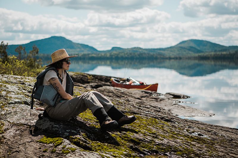
Day three brought our first glimpse of sunshine. We stripped off our rain gear and put on our sun hats as we paddled across the bipolar waters of the lake. "Can you believe this is the same place?" I asked Aimee. "I know, its like we've stepped into another dimension" she agreed. The water looked like quicksilver as we silently glided our way to the outlet. We were two days behind schedule but we took our time, soaking in the sun, stopping on islands to cast dry flies to eager brookies. "Certainly this was it..." we thought, "...we've made it through the storm and now our trip can really begin!"

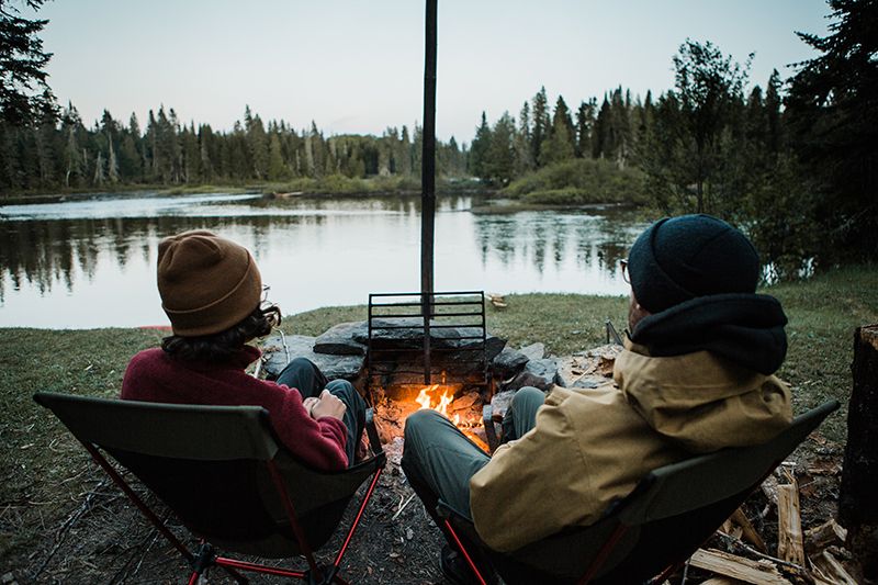
The several inches of rain that had accumulated over the past few days raised the flow of Allagash stream to a marginally navigable level. This would be the first set of rapids we'd ever run, and it didn't disappoint. Nervousness and uncertainty quickly shifted to excitement and adrenaline as we clumsily collided into rocks like a bowling ball bouncing off gutter-guards at a 10 year old's birthday party. We stopped at the halfway point and camped above Little Allagash Falls. We took in a beautiful sunset over Little Round Pond and cooked s'mores on the fire. Maine's official state slogan is "The Way Life Should Be", and we certainly felt it that night.
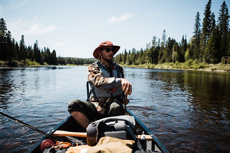
The following day brought our first portage, and another several miles of class 2 rapids. For those who haven't carried an 83-pound canoe on their shoulders before, let me assure you, it hurts. The several hundred yards it took to navigate around the falls felt like an eternity. "Its ok!" I thought, "there's going to be plenty more of this in Labrador and I need the conditioning..." By noon we'd made it to the open expanse of Chamberlain Lake, and our big water section of the trip officially began. We'd spend the next 4 days getting blown around, rained on, and beaten down by the elements on the headwater lakes of the AWW. We had spent a lot of time worrying about the river sections of this voyage because it was were we lacked the most experience. We'd spent the weeks leading up to our departure paddling our Penobscot 174 around our local ponds, and had developed a basic understanding of tandem paddle strokes and stabilization techniques. Rapids on the other hand, seemed foreign and unpredictable. We were wrong. Large open bodies of water during inclement weather pose a far greater risk to inexperienced paddlers than rivers do.
Nearly every day from dawn till dusk we battled the wind in a series of exponentially difficult trials. We lost an entire day after making a split second decision to head for an island that was downwind of us on Eagle Lake. Lesson #387 learned on the Allagash: DON'T GET STUCK ON AN ISLAND IN A WIND STORM. Conventional wisdom told us that lakes are calmer in the morning and evenings, and fearing another stir crazy and wind bound day we broke camp at 4:30 AM to try and make it back to the mainland. The wind was already howling. That morning commute was probably one of the hardest of either of our lives. Our arms and backs burned as lactic acid built in our muscles against the strain of the paddles. We pushed as hard as we could, without stopping for over 8 hours and only covered 5 miles. The wind was blowing out of Northwest, so we hugged the left hand shore in an attempt to find the lee. This technique saw us through some hard times on the trip, and although tracing the shoreline increased our total travel distance by at least 20 miles, the relief it brought our tired bodies was sorely needed.
On day 6 we made it to the river, and a discussion with a ranger at Churchill Dam revealed that it had been a particularly windy season so far. "Don't worry," he said with a warm smile, "The current will take you now." That however, turned out to be only partially ture. The next 8 miles, revered by white water enthusiasts is known as Chase Rapids and it gave us an opportunity to apply the lessons we'd learned on Allagash Stream. I'm proud to say we only beached ourselves once despite the sections reputation as a "rock garden".
The Allagash River points due north as it makes its way to the Canadian border. The prevailing wind on the waterway, as we learned, is a north wind. We had hoped to complete the trip in a week, but by the morning of day seven, with over 50 miles still to go it was clear that wasn't going to happen. By now we'd hit our stride and our 2-person team was working like a well-oiled machine. Not only were we able to anticipate the others decisions on the water, an unspoken communication of sorts, but when we made and broke camp we knew exactly what each of us needed to do. We could pack and unpack the canoe in a matter of minutes, and every item had found its rightful place through the painstaking trial and error of a week worth of mistakes.

Maps can be deceiving. Despite all objective awareness, the reader has a way of projecting their hopes and desires onto the page. We knew the river had a few lake-like impoundments in the middle of it, but we assured ourselves that they looked small on the map, and were probably just glorified wide spots. We knew better. We'd seen first hand just how arduous a half inch of map could be when paddling into a headwind, but for the sake of our tired bodies we constructed a narrative to best suit our shaky morale. Umsaskis and Long Lake turned out to be our greatest test, and we spent nearly half of the day lining the canoe from shore just to avoid having the crushing feeling of standing nearly still despite paddling our very hardest. Looking back now, I'm still not sure how we made it to Long Lake Dam that night, but I know it wasn't easy. As we settled into camp and heated up another round of dehydrated Fettuccini Alfredo we couldn't help but feel an immense sense of satisfaction in knowing that we'd made it this far with nothing more than the strength of our arms, legs, and raw determination. We weren't certain how the last days of our trip would shape up, but we were confident that whatever happened we could handle it.
As the river began to widen on the way to its confluence with the St John, the meager flows exposed the Allagash's bones. We became exceptionally good at figuring out what part of the river would funnel the slightly over 6 inches of water we needed to stay afloat. We broke up the day by stopping at every campsite we encountered and imagining where we'd put our tent, and trying to guess where others had in the past. It dawned on me just how special our timing had turned out to be. At first I was frustrated by the inclement weather and poor flows, but I'd learned to see the good in an otherwise hopeless situation. No one was there. In total we glimpsed about 10 human beings on our trip, and half of them were rangers.
We reached Allagash Village on the morning of the 10th day; 3 days behind schedule. Our last hour on the river was spent exactly as it started, cold and wet. In a steady rain we unloaded the canoe for the last time and threw our soggy gear into the car. We flipped the canoe over and secured it to the roof wracks. We paused for a moment as we tightened down straps, and admired its scars. We ran our hands along the scrapes, gouges, and dings embedded in the red polyethylene shell. As we thought back on where we'd been and what we'd seen the early days of the trip seemed a distant memory. We'd emerged from our adventure different people then when we'd started, and the hardships we'd overcome now seemed a lifetime ago. It wasn't the adventure we'd planned, but it was the one we got. We wanted to go on a trip to help prepare us for our expedition to Labrador, and the Allagash delivered tenfold. Though there were moments along the way that each of us quietly thought to ourselves "I'm never doing this ever again..." we learned the limits of our characters, and then pushed them farther. We explored a land as pristine as anywhere left in the lower 48, and gained knowledge and experience that could never be gleaned from the pages of a book or the glow of a computer screen. As many backpackers and expeditioners will tell you, one of the greatest past times as you lay in your tent at night is to fantasize about the first thing you'll do when you get home. What meal you'll eat, or the long, hot shower you'll enjoy. All the things you'd taken for granted before embarking on a trip into the wilderness. We were no exception, and we found it quite a comforting game when at our lowest points along the river, but all I could think to myself as we wound our way down route 11 back to civilization was "I can't believe how long we have to wait before the next one."


